Main Street, Vineyard
Haven, Mass.:
The Bank to Union Street
Site 1: The Factory, the Fire, and the Bank (under construction)Site 2: Ben Franklin's (under construction)
Site 3: The North End Barber Shop (under construction)
Site 4: Lane's Block (under construction)
Also See: North of the Bank
|
1847 U.S. Navy Coast Survey |
 |
1858 Walling Map |
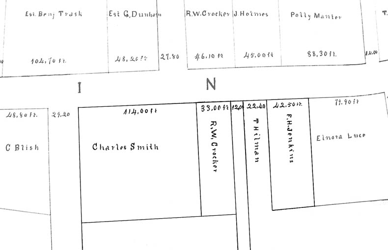 |
June 1873 Assessors Map |
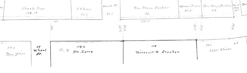 |
Fall 1883 Assessors Map |
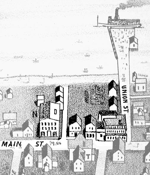 |
1886 Birdseye view map (published 1887) North is left. |
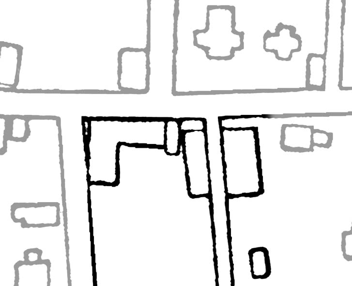 |
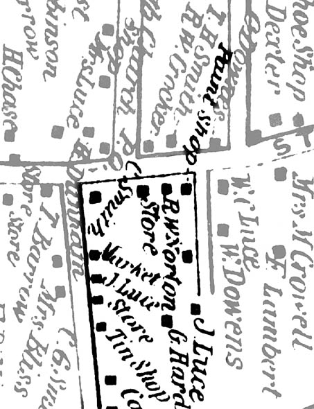
1888 Real Estate Map |
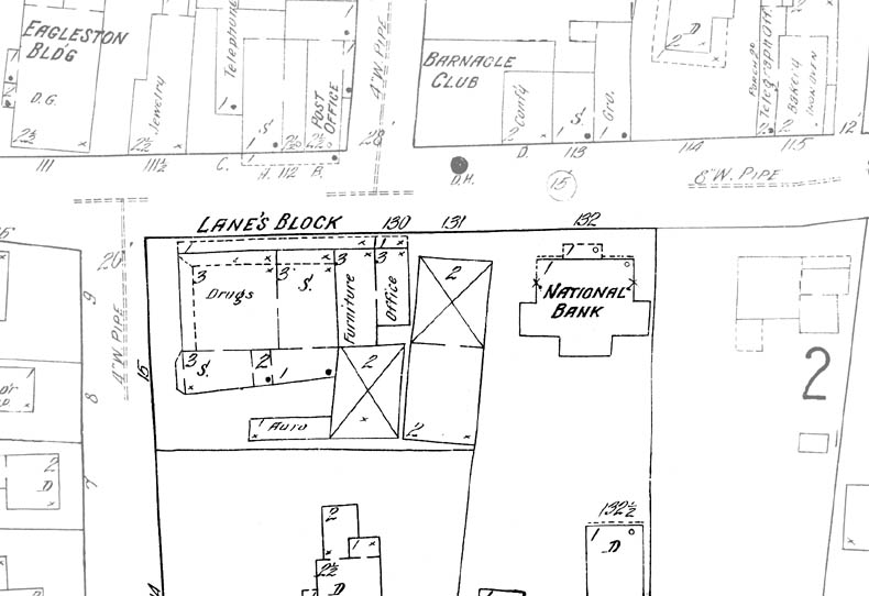 |
1914 Sanborn Map |
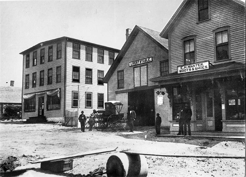 Crocker's second
factory (Site #1), the livery stable (Site #2), and E. H. Manter's Shoe
Store (Site #3), after 1883.
Crocker's second
factory (Site #1), the livery stable (Site #2), and E. H. Manter's Shoe
Store (Site #3), after 1883.
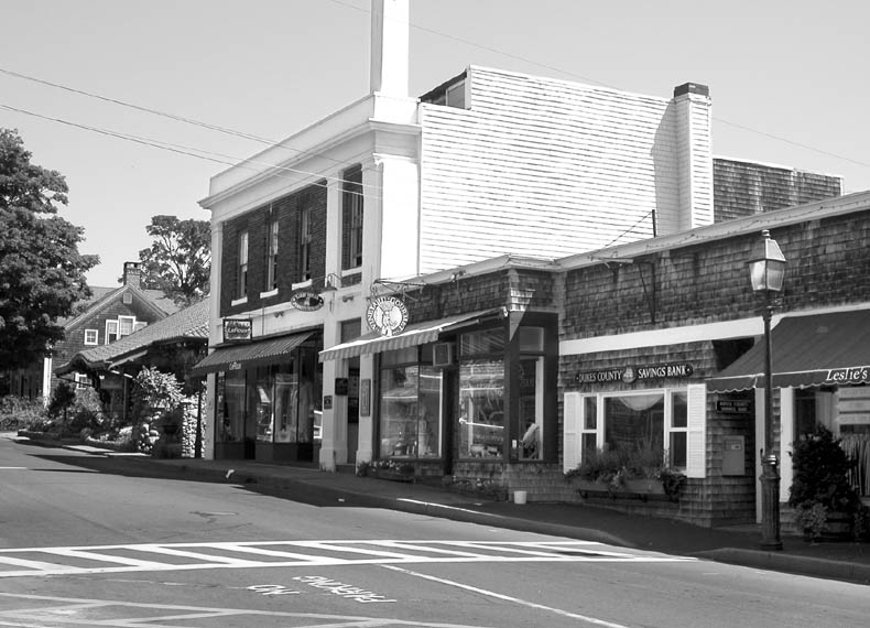 Roughly
the same view as above, looking northeast, July 2002. Very little has survived
here from the 1880s.
Roughly
the same view as above, looking northeast, July 2002. Very little has survived
here from the 1880s.
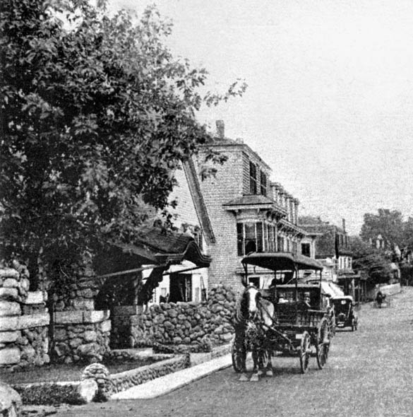 View south circa
1906 - 1911.
View south circa
1906 - 1911.
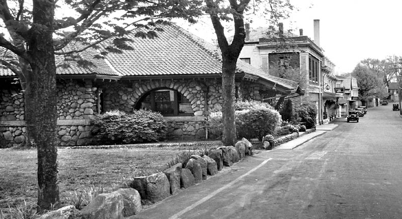 View south about
1938. Cromwell Block (the brick building, Site #2) has replaced the wooden
livery stable.
View south about
1938. Cromwell Block (the brick building, Site #2) has replaced the wooden
livery stable.